Up Ron & Marjolijn's holiday pictures » 2015-10 Australia » 13-Cairns Prev Next Slideshow

 Previous image  Next image  Index page  Original Image [11-Skyrail Rainforest Cableway, Kuranda.jpg - 851kB]
 
 
01-Along the Esplanade
02-Along the Esplanade
03-Cairns Esplanade Lagoon
04-Cairns Esplanade Lagoon
05-Train to Kuranda
06-Stoney Creek Falls, Kuranda Railway
07-Stoney Creek Falls,  Kuranda Railway
08-Barron Falls
09-Barron Falls station, Kurande Scienic Railway
10-In the Rob Veivers Environmental Parki, Kuranda
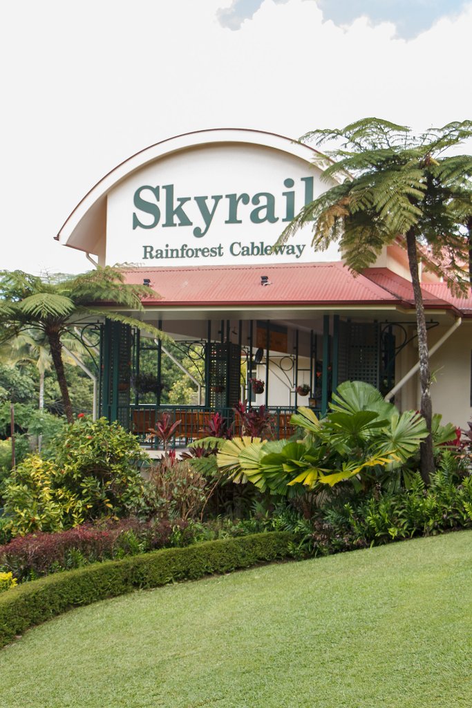
  11-Skyrail Rainforest Cableway, Kuranda.jpg  
12-Barron Falls
13-Barron Gorge
14-Coral at Michaelmas Cay, Great Barrier Reef
15-Coral at Michaelmas Cay, Great Barrier Reef
16-Giant clam at Michaelmas Cay, Great Barrier Reef
17-Coral at Michaelmas Cay, Great Barrier Reef
18-Coral at Michaelmas Cay, Great Barrier Reef
19-Coral at Michaelmas Cay, Great Barrier Reef
20-Giant clam at Michaelmas Cay, Great Barrier Reef
21-Snorkelling at Michaelmas Cay, Great Barrier Reef
22-on Michaelmas Cay, Great Barrier Reef
 

11-Skyrail Rainforest Cableway, Kuranda Download Original Image
Latitude: S 16°49'7,62" | Longitude: E 145°38'19,24" | Altitude: 347 metres | Location: Kuranda | City: Macalister Range | State/Province: Queensland | Country: Australia | Copyright: Ron Harkink | See map
Total images: 22 | Help